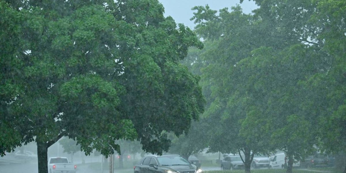
JOHNSON COUNTY, KANSAS — A series of fast-moving thunderstorms swept through the Kansas City metro area Tuesday afternoon, prompting multiple tornado warnings and flash flood alerts, particularly in the southern portions of Johnson County. Officials activated emergency response systems to inform residents, urging caution as the situation evolved.
The most impacted areas included Gardner, Edgerton, southern Olathe, and southern Overland Park, according to the Johnson County Office of Emergency Management.
“We activated our Emergency Operations Center to get alerts out as fast as possible,” said Sarah Hayes, the county’s Director of Community Preparedness. “NotifyJoCo was our primary alert system.”
Alert System: Effective But Opt-In
NotifyJoCo — the county’s designated emergency alert system — only sends warnings to residents who have opted in and live within the affected zones. Hayes emphasized that those not signed up or residing outside the danger area will not receive alerts, even during high-risk events.
To broaden reach, emergency managers also posted storm updates across social media platforms.
“We always encourage people to use multiple apps or systems for weather updates,” Hayes added. “No system is 100% foolproof, so redundancy is key.”
Timeline of Weather Alerts
- 1:32 p.m. — First severe thunderstorm warning issued via NotifyJoCo
- 1:35 p.m. — Tornado watch declared for parts of Johnson County
- 1:45 p.m. — Tornado warning for Gardner, Edgerton, and Spring Hill as radar indicated rotation in a storm moving east at 40 mph
- 2:08 p.m. — Second tornado warning issued for southeastern Johnson County, including parts of Overland Park
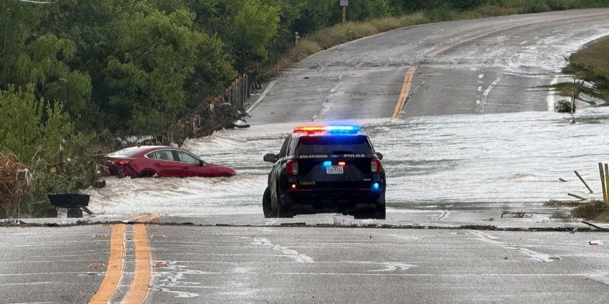
As of 2:16 p.m., the entire county was placed under a flash flood warning, in effect until 7:00 p.m., due to heavy rainfall and potential street-level flooding.
What Residents Should Know
Meteorologists noted that radar showed rotation within the storms, though no confirmed touchdowns had been reported at the time of publication. Emergency officials advised residents in warning areas to take shelter immediately, avoid travel if possible, and monitor weather updates from official sources.
NotifyJoCo remains the most direct method for local alerts, but users must sign up manually at www.notifyjoco.org. Registration allows residents to tailor alerts by location and type, including weather, public safety, and utility issues.
“Your safety depends on having the right information at the right time,” Hayes said. “Being informed is the first step to being prepared.”
Looking Ahead
Weather forecasts predict the storm system will continue to move east, with clearing conditions possible by late evening. Local officials are urging all residents to stay alert for new warnings or updates, especially given the potential for flash flooding in low-lying or poorly drained areas.