
WASHINGTON, D.C. — June 9, 2025 — Millions of East Coast residents are on high alert today as a large swath of the Interstate 95 corridor braces for severe weather, including the potential for damaging winds, hail, flash flooding, and tornadoes. The greatest concern stretches from Georgia to the nation’s capital, with the most serious tornado threat focused on Virginia and the D.C. metro area.
The National Oceanic and Atmospheric Administration’s (NOAA) Storm Prediction Center has placed much of the eastern U.S. under a Level 2 risk on its 5-point scale for severe thunderstorms — signaling an elevated chance of impactful storms.
Cities at Risk
The Level 2 risk includes major cities such as:
- Savannah, GA
- Columbia, SC
- Wilmington and Raleigh, NC
- Richmond and Virginia Beach, VA
- Washington, D.C.
As of Monday afternoon, a Tornado Watch was issued for more than 10 million people in the mid-Atlantic, including areas around Washington, Fredericksburg, and Richmond.
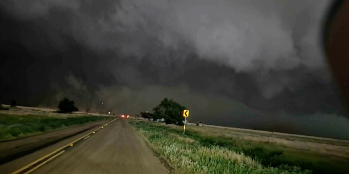
Tornadoes and Damaging Winds Possible
Forecasters warn that the most volatile conditions will occur along the I-64 corridor from Norfolk to Richmond and along I-95 from south of Richmond to Washington, D.C. These areas may see rotating storms capable of producing tornadoes, with damaging wind gusts and hail also a possibility throughout the region.
“Tornadoes will be possible in portions of North Carolina, Virginia, Maryland, Delaware, and Washington, D.C.,” the Storm Prediction Center stated in an update early Monday.
Flooding Threat Not Far Behind
In addition to the severe thunderstorm threat, heavy rainfall could lead to flash flooding across parts of the Northeast and mid-Atlantic. NOAA’s Weather Prediction Center has issued a Level 2 out of 4 flash flood risk for portions of seven states and Washington, D.C.
Urban areas with poor drainage, as well as streams and rivers already elevated from previous storms, are particularly vulnerable.
Stay Prepared
Emergency officials are urging residents to remain weather-aware throughout the day and evening, especially during peak storm hours between 2 p.m. and 10 p.m. local time.
Residents are advised to:
- Charge mobile devices
- Monitor NOAA Weather Radio or local news
- Have a tornado safety plan
- Avoid flooded roads and heed all warnings